Climbing Route Analysis
This post shows images from Google Earth (which you must get if you have not already! - http://earth.google.com/) of the route. Except for one strip, which I'm hoping they will update soon, its pretty detailed. In fact I have been using it to see if there is an alternative route up the mountain. Imagine if Mallory had had such a view before he climbed!

Where in the world? Drove from Kathmandu via Friendship (not very) bridge to Shisha base camp

Overview of the climbing route - Used yaks to get from Base camp to Advanced BC (approx 17km, 600m height gain) and this is done once - then slog to depot camp, (5km, 200m height gain) did 3 times - then climbing really starts after crossing the penitentes
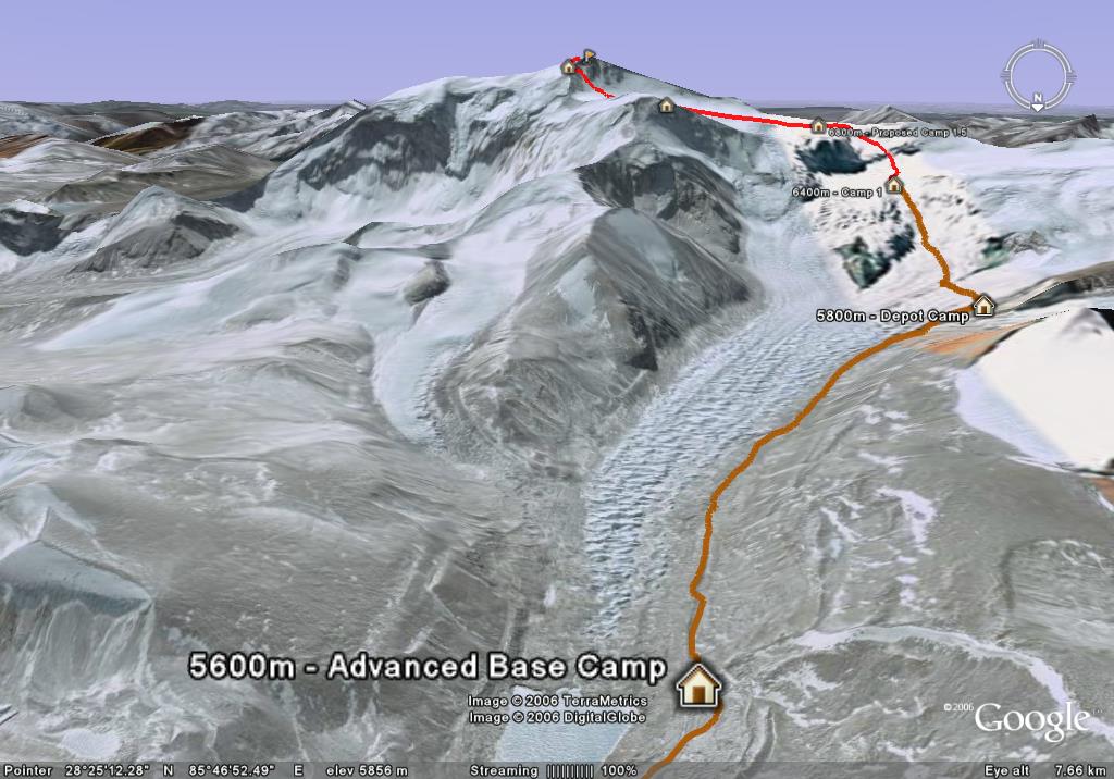
View from ABC, up to Depot, then CI, CII & CIII

From Depot, accross the penitentes, up to CI

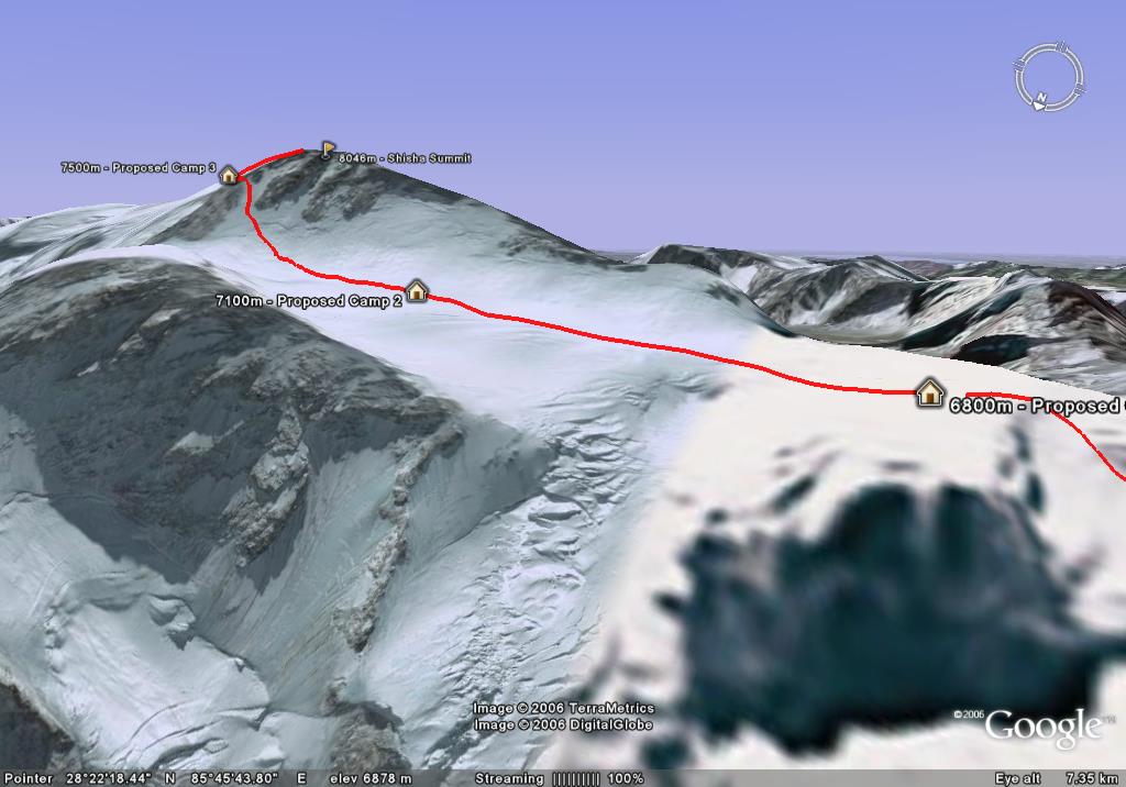
From CI (My high point so far - 6,400m) to CII, CIII & Summit
In the "valley" from CI, CII then Summit

Proposed CII & CIII
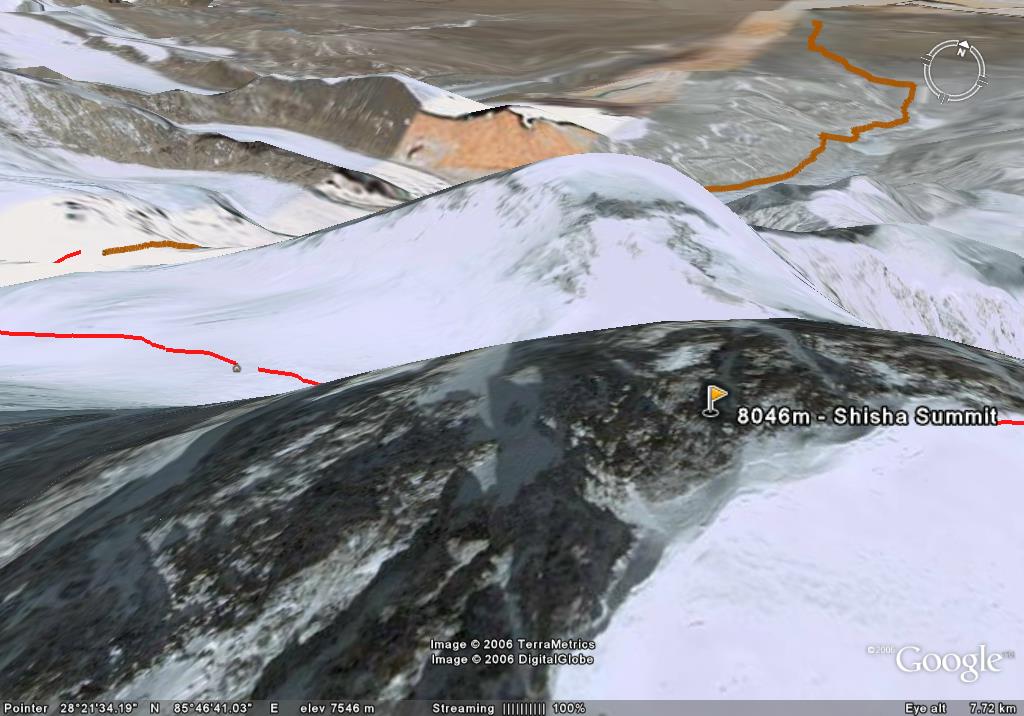
Looking back over summit to ABC & BC