Sunday, January 1

Proposed Camps

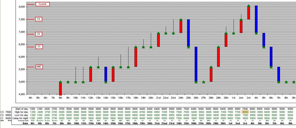
Although I'm going to be independent, I have undertaken a fair amount of research regarding the possibilities of where my camps will be. The picture shoes the latest scenario that I have produced (yes in MS Excel). Many factors will determine this, probably the most important being the weather, but it is important for me to have the correct equipment (tent, food, stove etc) at the right place at the right time. I will also be discussing this further with Jamie once we are at ABC. Due to us having to acclimatise there will be plenty of time for us to chat...

The red bars indicate an ascent with a camp at a higher altitude than the previous night. Camps are demarcated by green triangles. Black lines indicate that a climb occurred to a higher altitude but that I returned to the altitude of the previous nights camp. Blue bars are the opposite of the red bars - going down rather than up.

You might notice that there is a camp at/on the summit - I would like to sleep at 8,000m if I can. This will be a practise run for a high camp on Everest (similar to the South Col). This is a bonus objective and critically depends on how I feel and what the weather forecast is.

Shisha - photo Mike Teger

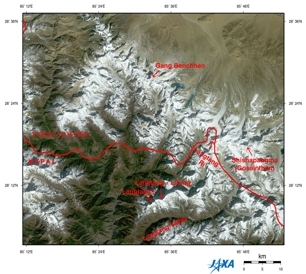
Advanced Earth Observing Satellite (ADEOS)

Figure depicts the Shishapangma (also known as Gosainthan) and Langtang Mountains in the Himalayas observed by AVNIR. The white sections are mountainous areas covered with snow. The steep mountains seem to cast their own shadows on the tops and the ridges, upper left. This is because the observation time was before noon local time as the sun shone from the lower right.

Nepal is in the lower portion of the figure, and Tibet, China, is in the upper portion, with the complicated border lying in an east-west direction. Shishapangma is on the right of the figure, 8,012 m above sea level on the Tibetan side. You can see other seven-thousand-meter peaks, including Langtang Ri (7,239 m above sea level), Gang Benchhen (7,211 m above sea level), and Langtang Lirung (7,245 m above e sea level). Some glaciers can be seen in the center of the figure near the bottom of Langtang Valley on the Nepal side. Many glaciers line up in the northwestern area around Shishapangma on the Tibetan side. Some glaciers on the Tibetan side have glacial lakes downstream that look copper green or pale emerald green.

The growth and melting of glaciers are considered indices of global warming, and some reports say that glaciers are easily affected by global warming in places at relatively low latitudes and high altitudes, as in the Himalayas and Tibet. As glaciers retreat and contract, glacial lakes collapse, flooding downstream areas and causing a rise in sea level. For this reason, we have to continue careful observation. Valley bottoms less than 1,500 m above sea level (lower left) appear veiled. This could indicate air pollution in the Katmandu basin. The mountainous area and Tibetan Plateau (higher than 3,000 m above sea level) look clear because the thin atmosphere has little influence on visibility.
Greenish brown: Forests
Yellow ocher, brown or gray: Exposed rocks or deserts
Brownish gray or bluish gray : Glaciers
White: snow or ice
Greenish blue or pale emerald green: Glacial lakes
Source: http://www.eorc.jaxa.jp/en/imgdata/topics/2005/tp050719.html

The Plan

Choose between Cho Oyu, 8,201 metres (26,906 feet) and Shishapangma 8,013 metres (26,289 feet). The idea is to be on a mountain, that if I’m feeling good, will present the opportunity to go higher. Who knows, perhaps my body (and mind) might not want to go above 7,000m? But to attempt another 7,000m and find I’m strong with no where else (up) to go, does not seem to be an option to me. I was very interested in Cho Oyu and in fact would have liked to have included a trek (over the Nangpa La pass) from Nepal to its base camp. But that route is still not open and its rumoured that one would be arrested by the Chinese. Jamie (see below) was influencial in me choosing Shisha.

I don’t want to be flown up by helicopter…I want to climb up by myself, just me. It’s not an option to throw a lot of cash at the problem and recreate a “safer” and “easier” route up. Might as well not do it at all, or for that matter might as well watch the Everest Imax movie...
Therefore no Sherpa support on the mountain and no oxygen will be used!
I intend to carry all my camp requirements and build them along the way. I will be using yaks to get my gear from BC to ABC.

I have base camp (BC) and advanced base camp (ABC) infrastructure – mainly food and access to technology. This will be provided by Jamie McGuinness company, Project Himalaya. I did investigate other companies, but immediately felt comfortable with Jamies responses about the level of service he provided. I look forward to meeting him as I feel we will get along well. He will also be organising the infrastructure regarding climbing permits and Chinese permits, transport to BC etc… Something I would like to have potentially done but unfortunately rather difficult while sitting in The Hague. Jamie also offered more free Burger King vouchers for the Base camp outlet than other companies did.

Questions the trip will answer

  • Do I have the organisational skills?
  • Do I have the physical ability to get to & above 8,000m?
  • Is it really all worth it?
  • Is it possible to build a camp infrastructure on my own?
  • What are the affects of the climb on heart rate?
  • Will I be affected by AMS?
  • What rate of ascent is feasible?
  • Is Mount Everest a possibility?
  • Am I able to climb to 8,000m without oxygen?
  • Am I able to climb to 8000, without Sherpa support?

Objectives of 8000m and above

To:

  • Go high
  • Experience the freedom of the hills
  • See the curvature of the earth from land
  • Get to an 8000m summit
  • Sleep above 8000m
  • “Enjoy life” as Mallory said
  • “Dare Mighty Things” as Theodore Roosevelt said

Monday, August 1

August 2005 - Moraine training


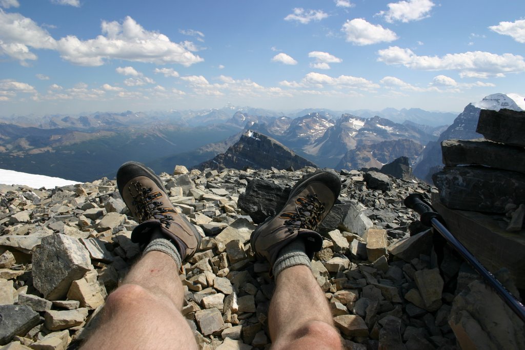
Whenever I'm out in the hills I have an expression that "today I'm training for tomorrow" even though the event is an objective in it's own right . Storm Mountain was one of those days. A climb on the border of BC and Alberta in Canada, from 1,600m to 3,120m consisting mainly of scree slopes, but with spectacular views. This is likely to be good experience for the morraine slopes from base camp (BC) to advanced base camp (ABC) on Shisha.

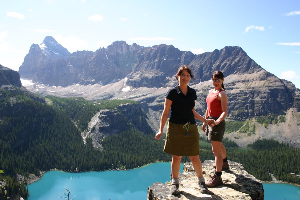
On the same trip, how is this shot of Claire & Lynnie at Lake Ohara

Saturday, January 1

December 2005 - Lake Ennerdale in Winter

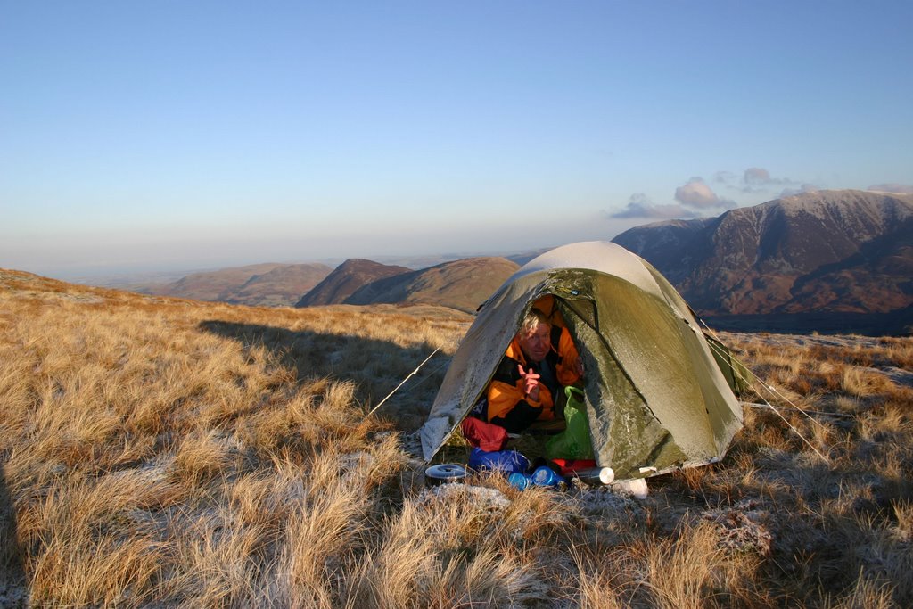
Two trips occurred in December. The first was with Raymond E in the Lake District. I have a hike around Ennerdale Water (54 31.516N,3 23.546W, if you have not Googled Earth'd yet, you have to!) in the Lake District which has provided a great training ground for testing kit, navigation and physical capabilities. At the apex, it is also possible to include Scarfel Pike and hence the trip can be up to 3 or 4 days in length. It is mostly deserted and offers a great variety of peaks, valleys, ridges and of course stunning views of the lakes (incl. Buttermere). It was bitterly cold being the middle of winter and even though we had clear skies, it was quite a shock for Raymond having just arrived for the warm Cape!

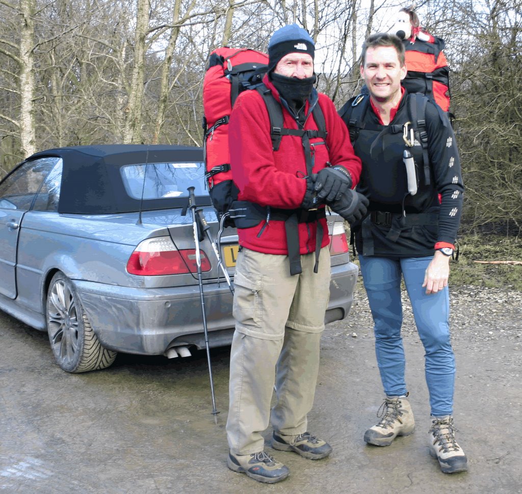
The second trip (1 night) was in the Peak district and only a couple of days later. I had some extra energy to burn off, so Raymond and Dave drove me to Edale (beginning of the Pennine Way). I was rearranging my kit after they had dropped me off when I noticed that I was missing my tent poles. My objective was to do some GPS navigating, so I just decided to walk all night instead of pitching a camp. But as I got further into the walk (and it was already early evening) the weather really got bad. I could only see about 3 feet and for anyone who has been to the peak district, this does not help much due to the undulating terrain. The dense mist just defused my head torches beam. Anyway I stuck to my guns and in complete faith just followed my GPS readings. Not the easiest to have added due to the pouring rain and wet map. A good couple of lessons – get Gromit to check the equipment and it was fabulous GPS training. Believe in the technology – it’s not wrong.

Monday, July 1

July 2002 - 4 Peaks challenge


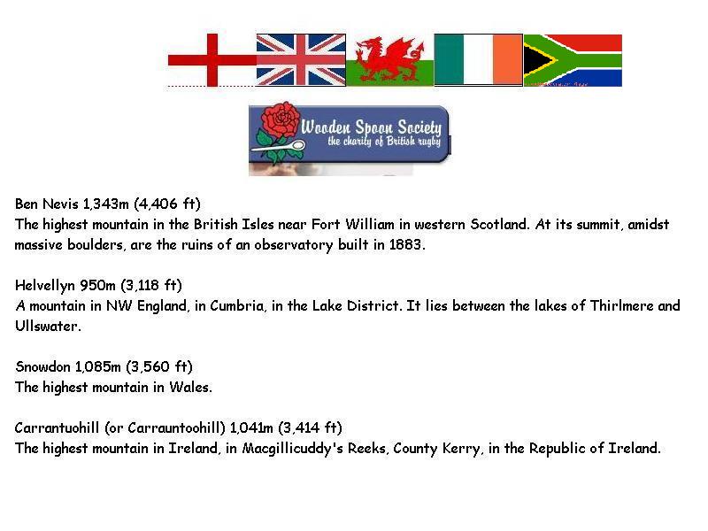
So we are having dinner and Carol says one of the teams is short of a member! This for the Wooden Spoon Society's 4 Peaks challenge. Now although in a couple of weeks, I had had a "couple" of beers, so next thing I know is that I had volunteered to join.


Then I got the letter:
I am very excited to be part of a team, the ‘Cobalt Cougars’, in this year’s sponsored Wooden Spoon Society Vauxhall Four Peaks Challenge.
Wooden Spoon Society is the charity of British Rugby founded in 1983 to help those disadvantaged by physical disability, and social and mental deprivation – particularly children.

The Four Peaks Challenge – What is it really?
The team is 3 climbers and a driver. The 3 climbers each have to climb:

Ben Nevis, Scotland, 2pm 4th July
Helvellyn, Lake District, England, 6am 5th July
Snowdon, Wales 3pm 5th July
Carantouhill, S.W Ireland 7.30am 6th July

Or another way to put it –

Climb up and down 14,000ft. of mountain and drive 1900 miles in less than 48 hours. As you can imagine, we are in serious training!
There is a limit of 50 teams, and each team must raise a minimum of £3,500, and our objective is to exceed this significantly. The Wooden Spoon Four Peaks Challenge is an established event and very well supported by Challenge Sponsors ranging from Vauxhall who provide vehicles, Groupama who insure them, to Guinness who refresh us after Carantouhill – so all the money we raise goes to the charity.


....Oops...."serious taining" would probably have to occur en-route


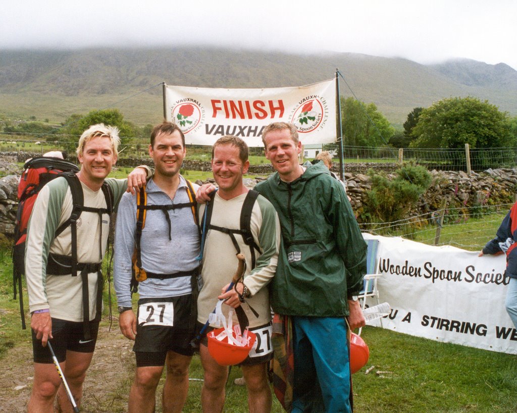
But it was great fun, somehow we all ran most of the way, did not sleep much and finaly got to the end...


My hair still had the remains of my Marshall Mathers impression from 27 April


1. Ben Nevis - 3h30
2. Helvellyn - 1h40
3. Snowdon - 2h18
4. Carrantouhill - 3h05

Saturday, September 1

September 2001 - Target 7,000m

By now I felt that I had a good mountaineering platform from which to attempt higher altitudes. The opportunity arose when Victor Saunders (http://www.basecamp.co.uk/) was organising an attempt on an un-climbed peak in Western China near Mustaghata, called Koskulak (7,028m). What a fabulous trip, in an amazing part of the world. I did not want to leave Kashgar, felt as though it had almost been left behind by time – that is the old section that has not been influenced by modern China.
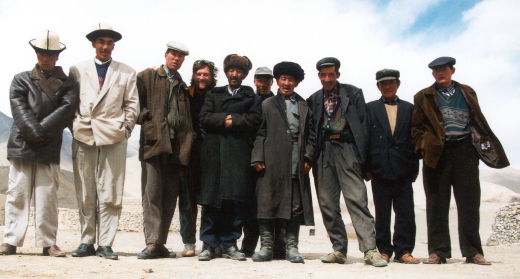
With local Kirgiz


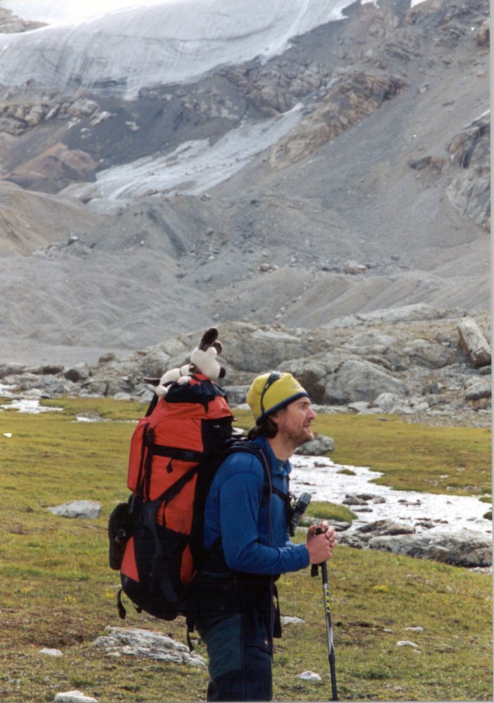
Unfortunately we ran into the end of the clear weather patch and got stuck in a blizzard at camp III. The motivating fact for me was that I was feeling strong and believed that if the weather had held, we would have reached a virgin summit. I stand to be corrected and I need to find some notes but I think we got to 6,600m [Tony can you help?]


– With local team

Wednesday, August 1

August 2001 – Kirgyzstan

Ever been to an ex-Russian state called Kirgyzstan? No, ok lets go and hike up the Inylchek glacier, yes on your birthday, yes camping again on your birthday! This time on a moving creaking glacier. Here we spent a couple of weeks doing the most amazing trek with Sasha and “family” www.kyrgyz-travel.com. The objective was to acclimatise and get my mountain legs in preparation for an attempt on an unclimbed peak in Western China. I have to admit that I planned a route that was a little adventurous for the amount of time we had available – it ended up being a hard long slog without any rest days. As it was Claire’s “holiday” I had hoped we would be able to rest along the way and enjoy the scenery – so I got grumpy (due to my bad planning) and walked at the back, while Claire did an amazing job literally skipping up the icy glacier. By now Gromit was an integral part of my climbing – and it was after this that he put himself in charge of planning and navigation.

Thursday, March 1

March 2001 - Ice Ice baby

Waterfall ice – now that’s the stuff. An absolutely fabulous medium to climb. Just relying on the front points of your crampons and some technical ice tools to keep you suspended. I’m not a great rock climber, but I think, as long as you totally trust the ice, one can climb up some amazing formations. Claire and I had some great times with Anders Swensson and Terry

Claire


Looking down the ice column

Sunday, August 1

August 1999 - Base of the Pyramid

After a 9 month stint working in Kuwait, Claire & I were fortunate enough to embark on a round the world mountaineering trip. Starting in the Alps (with some excellent courses with ISM - www.alpin-ism.com - Terry Ralphs, Steve Jones & Mark) and including many guided 4,000m peaks – where I have to point out, that Claire still has climbed more 4,000m peaks in the Alps than I have, following on to North America to Mount Olympus with Willi Prittie of www.alpineascents.com in Western Washington, Mt Athabasca in Canada with Tarn Pilkington. In between this we experienced the amazing tundra and spectacular views of Denali with Brian and Diane Okonek (see and listen to the story about the sleeping bag http://uaf-db.uaf.edu/jukebox/DENALI/html/brok.htm). After a fun stay in Los Angeles, we zoomed off to New Zealand and had some great climbs with Jonathan Morgan & Anton Wopereis of www.alpineguides.co.nz. Claire and I attempted Mt Aspiring, dubbed as "the Matterhorn of the Southern Alps”, but due to some bodies on the “ramp” – not really but that’s another story…
The objective of the trip was to get a good grounding in the principles of mountaineering. It was especially interesting to experience the different approaches between America and Europe.
The Millennium celebrations party was great fun at Ray's house, especially as no one recognised me...

Saturday, September 19

September 1998 - Yes definitely!

Claire says "Yes Definitely" and I became a very proud and happy husband


A great shot taken by Scott Tuttle!


Wednesday, April 1

April 1998 - Khumbu region

So then this occurred:

The six week trip to Nepal was an exploratory trip to find out more about this “high” environment. I trekked with Pasang and a porter (Priem) up, down and along the main valleys in the Khumbu area. The highlight of the trip was two nights at Everest base camp, just alongside the Singapore Everest Expedition camp. Seeing the size of the icefall was very intimidating. I could only just muster up enough courage to approach the outskirts of it. But hearing the discussions (some in English), seeing the preparations, focus and commitment of all involved was very inspiring. More seeds were planted…

Monday, April 1

April 1996 - In the beginning

So where did this all begin... This was my first view of Everest. As you can see it was an incredible day - amazing blue skies and as we rounded a bend on the way to Namche Bazaar, Pasang my Sherpa said have a look over there! - So that's Mount Everest!
I had not been interested in mountaineering at all in my past, except for some great trips during my childhood, to the Mountain Leadership School in the OFS. The real inspiration funnily enough, stemmed from one man, Sir Ranulph Twisleton-Wykeham-Fiennes - or Sir Ran Fiennes. I picked up one of his books at a B&B - Living Dangerously and the first seed was set. It’s a fabulous book in which he defines what the human body is capable of if ones mind is strong. Starting with his childhood in South Africa, he takes one on a journey through his life’s ups and downs, his close human relationships and his self belief. Somehow I read into all of this that I should plan an attempt Mount Everest. (Perhaps the ultimate challenge) By the way although it is not relevant you must also read The Feathermen by him – an amazing ending!

Friday, March 1

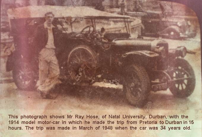
Raymond E Hose

Raymond was testing adding pictures to the blog and this was what appeared...
As I liked it so much, although not really relevant to the blog, I decided that it should stay

Cheers Dad!


- an antique, sepia (nogal) picture of the Golden Era! Hooray, it works!